Wednesday, August 27, 2014

The Corn Palace of Mitchell, South Dakota

Built in 1892, the Corn Palace hosts over 500,000 visitors each year, celebrating the rich South Dakota soil and agriculture industry with "Crop Art" and "Ear-chitecture," both inside and outside its walls.

The building is used for sporting events, concerts, community events, and exhibits, with 43,500 square feet of floor space and a capacity of 3200 spectators. It is home to both local college and high school basketball teams, has an annual rodeo, and a polka festival.

The streets around the Palace are closed this year for a major upgrade/renovation to the facility, but it is still open to visitors, and as always, entrance is free.


Local artists design the exterior and interior corn (and other grain) murals, as seen in this photo, laying out the colors for the picture (click to enlarge.)


Here are a few of the exterior artworks this year...


...and here are some of the interior works...


It is only minutes off I-90 and signs guide you to the free parking lots.  Check it out if you are in the area!  I've been there half a dozen or more times and still enjoy the artwork!

Tuesday, August 26, 2014

The Glories of Yellowstone National Park

(My tenth trip to Yellowstone)


Excelsior Geyser.


Lake Yellowstone from Grand Campground.


Prismatic Hot Springs Pool at Old Faithful Geyser Basin.


Famous Morning Glory Hot Spring Pool at Old Faithful Geyser Basin.


View from high mountain pass along Route 89 in northern section of Yellowstone.


Old Faithful and the crowds appreciating the eruption.


Grand Canyon of the Yellowstone River.


Norris Geyser Basin and its other-worldly appearance.


The Glories of Grand Teton National Park

My tenth trip to Grand Teton National Park


Clouds obscuring top and bottom of mountains (taken from Jackson Lodge.)


Marina at Colter Bay.


Flowers, lake, and mountains from trail at Colter Bay.


  • Reflections in Jackson Lake.


Hidden Falls near Inspiration Point.


Fawn at campground.


Marmot along Lakeshore Trail along Jenny Lake.


Chipmunk begging for food at Inspiration Point. (No, I didn't feed him!)


Mule deer grazing on side trail off Lakeshore Trail.


Sunday, August 17, 2014

Biking Des Moines' Gay Lea Wilson Trail

Gay Lea Wilson is a local trails advocate who spearheaded the planning and construction of local trails, and for whom this trail network was named.  For over two decades, her passions have been conservation, parks, and recreation - namely multi-use trails.  About 15 miles of a planned 35 mile long trail are completed, all concrete or asphalt, and eventual plans call for connections to the planned 110 mile bike loop through Iowa. (Central Iowa Trail Network.)  The trail now connects East Des Moines with Arkeny to the north and Pleasant Hill and Altoona to the northeast.

Pleasant Hill is the hub, and we began at Copper Creek Lake Park on University Avenue. This section, formerly the Four Mile Creek Greenway, took us to Altoona, and these photos are from that section.


For information on the entire trail, go to the excellent Rails-to-Trails website.


Trail parking:

In Pleasant Hill, parking can be found at the hub at Copper Creek Lake Park on E. University Avenue.

In Altoona, the main trailhead is located near the Greater Altoona Community Service Campus, with parking available at the dog park on 17th Avenue SW. Additional parking in Altoona can be found at Lions Park on 13th Avenue SW; at a large parking lot where the trail intersects 5th Avenue SW; and at Greenway Park off Adventureland Drive across from 9th Avenue NW.

In East Des Moines, park off E. Oakwood Drive just north of Scott Avenue or at the main Des Moines trailhead at the Robert L. Scott Four Mile Community Center on Easton Boulevard.

In Ankeny, parking is available for the Gay Lea Wilson Trail at the lot for Carney Marsh on SE 54th Street. Alternatively, consider parking in Glenbrooke Park at the southwestern corner of Ankeny. From there, take the Oralabor Gateway Trail east until it meets the Gay Lea Wilson Trail between Ankeny Boulevard/US 69 and Delaware Avenue.

Biking Omaha's Keystone Trail

We began at Karen Park and biked north. This 15 mile paved trail runs atop the flood control levees of Papillion and Little Papillion Creeks, crossing over them on bridges at various places.  The trail surface is in good shape, and the trail is flat except for the minor downs and ups for the underpasses (seen below) which make it safer and more convenient than having to cross busy streets.


The trail runs on the old railroad right-of-way for about 2.5 miles, and around mile 6, you'll see remnants of a wooden trestle. And in the two photos below, you'll see an active rail line passing over the trail on its high trestle.


Bikers are warned not to be under the trestle when a trail in above, though they have built an awning over the trail to protect riders and walkers from falling debris.


This trail was the "Trail of the Month" in June of 2007. You can see the article on the Rails-to-Trails website here.  It is a lovely ride, and the lack of road crossings adds to the enjoyment and safety of the trail.


To reach the trailhead at Democracy Park at the north end, take Interstate 80 to Interstate 680 North. Exit onto Fort Street and head east. Democracy Park is on the right at the corner of Templeton Drive and Fort Street.

 To reach the southern trailhead at Haworth Park, travel south on Highway 75, then turn east on Highway 370. Take a left onto Payne Drive to reach Haworth Park.

Karen Park trailhead has this address:  6288 H St, Omaha, NE 68117

Saturday, August 16, 2014

Biking Colorado's Blue River Bikeway (Breckenridge to Frisco Trail)

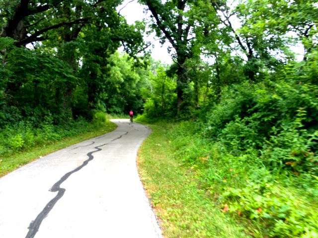
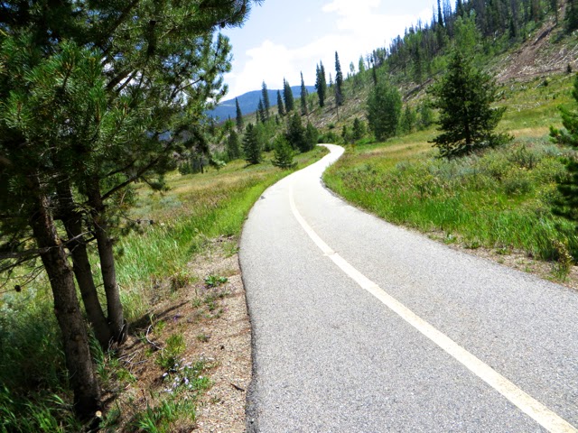
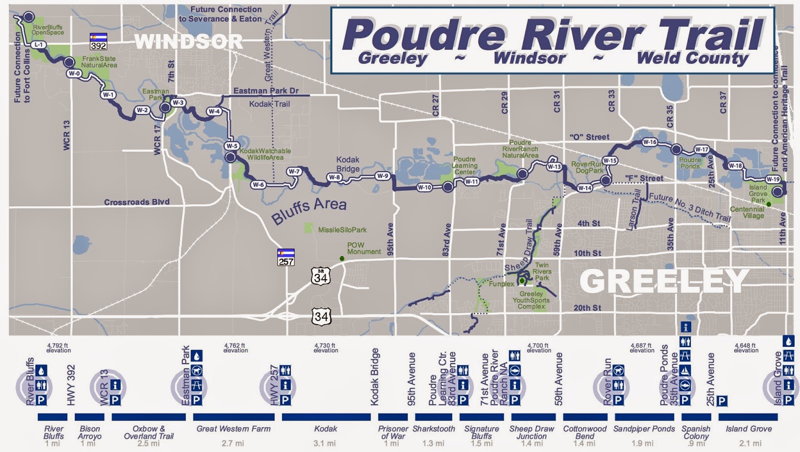
Nine miles of the Blue River Bikeway connect Breckenridge with Frisco with a (mostly) mild upward grade pitch as you head south toward" Breck" as the locals say.  Summit County has the trail signed as its Recreational Pathway, and as you hit the Breckenridge section, the signs change to Blue River RecPath. The trail is asphalt and in good condition.


The easiest way for me to find the trail was to start at the Summit Medical Center.  I saw on my iPad Maps app that the trail ran alongside the medical center, so we parked there (as did others) and used the paved connector path to get to the trail.  This first area we hit (heading south) was up above the road and lovely despite some clear cutting in progress.


Views of the mountains to the south were magnificent! The trail curved and did some roller-coaster hills and then a somewhat long and steep descent down to and around the high school.  Some northbound riders were walking their bikes up the hill and that's okay!  We call it cross-training! From there to Breckenridge was a gradual but constant uphill, barely noticeable but harkening that the trip back would be predominantly downhill (until the high school, of course.)


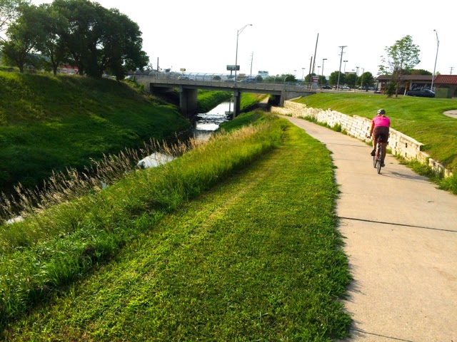
The Blue River Bikeway is a Colorado rail trail and part of the nationwide rail-trail system.  We noticed many families with children as we biked, proving the ease of the trail other than the steep section.  The section along Highway 9 is the least attractive segment, but most of the trail is lovely.


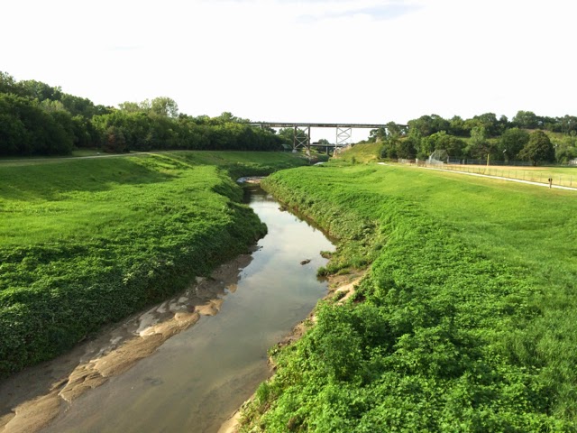
The final pedal into town was right alongside the river, and for the mountain bikers and hikers and fishermen, single track dirt paths were available alongside both sides of the Blue River.


The Breckenridge Visitor Center is the ending/starting point for the trail, and views like this await your arrival in picturesque Breckenridge. Washrooms, water, and food were available at both ends of the trail.


The Bikeway also leads to the Ten-Mile Canyon and Vail Pass National Recreation Trail, which parallels I-70. It is a fairly easy ride from Frisco to Copper Mountain, but then, from Copper Mountain up to the Vail Pass, the trail is quite a lot steeper, utilizing switchbacks and hairpin curves.


Biking Colorado's Poudre River Trail

The Cache la Poudre River runs from Greeley to Windsor for 21 miles.  It is paved, wide, has gentle grades, and is in good condition.  It passes through several parks and natural areas, has some forested sections, and often gives views of the namesake river. (Click to enlarge map.)


We started at Island Grove Park (elevation 4648 -- at the other end of the trail, the elevation is 4792.) After parking, bike back towards the road. Turn left onto the sidewalk/path and bike along the fence line.  The trail and its sign are at the end of the fence line and the trail turns left (I saw no other directional signs in Island Grove Park -- something I hope they address because it is very confusing as to where the trail is.)  Soon you'll come to a bridge. Turn right and take it over the river, turn left again, and you're on your way.  (By the way, a local Coloradoan said they pronounce the river "pooh-der.")


First you pass quarry operations and some lakes or ponds made from former quarries.  This area is called Poudre Ponds and is a 90 acre recreational fishing amenity.

Several sections of the trail have been built with the cooperation of local land owners, and signs acknowledging their donations are posted.  It is heart-warming to see such fine co-operative efforts in making this trail a reality.


One of my favorite sections was a bluff area with nice homes atop the bluffs.  The trail narrows as seen below and curves between the scenic river and hillside.


The Poudre River Learning Center is at 83rd Avenue and County Road 62.  Parking is also available here.

Poudre River website (has tons of info for you and interactive maps of the trail)


You can access the trail at several locations, including:
  • Island Grove Park: (1 mile Trail Section) 
  • 71st Avenue: (1 mile north of 4th Street) 
  • 83rd Avenue: (1.5 miles north of 10th Street/ hwy 34 business) 
  • Kodak: hwy 257 turn right at the farmhouse before the Kodak headquarters